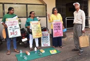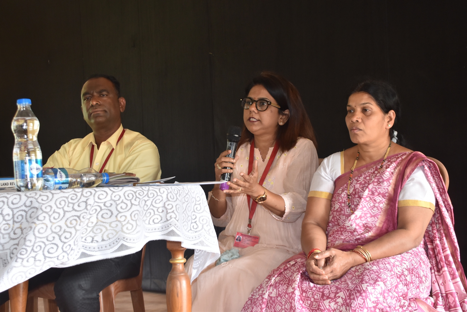
A Land survey official trying to allay public apprehensions on the 3D land survey.
MARGAO
Officials of the Directorate of Land Survey and Settlement on Thursday cited “administrative decision” as the reason behind including certain villages under the purview of the controversial 3D land survey.
When the land survey officials descended at the Seraulim village Panchayat for an interactive session with the villages to explain the salient features of the central government’ NAKSHA survey, they were flooded with a host of questions, including the critical question how come a rural village such as Seraulim was included in the 3D survey.
The officials could not explain the exact reason behind including Seraulim in the survey other than saying it was an administrative decision of the Goa government for inclusion of certain villages within the survey purview. One of the officials replied saying they would consult the department higher ups to find out the reasons behind including villages in the survey.
The official explained that the NAKSHA survey is a pilot project being carried out in around 150 Urban Local Bodies (ULB) across the country, including Panaji, Margao and Cuncolim.
When asked how come Seraulim village is included in the survey when it is a rural village located on the periphery of Margao, the land survey official said that the decision to include Seraulim and other villages bordering the three Municipal areas was an “administrative decision” taken by the Goa government.
Objective of
the survey
According to officials, amongst other things, the 3D survey aims to identify new constructions and changes in land use, noting that the last land survey was conducted in the 1970s and does not reflect subsequent development.
They added that the exercise would help update land records through a transparent exercise and prevent land grabbing. The survey findings will be kept open for public objections, with assurances of ample opportunities for villagers to raise grievances.
An inquiry officer from the Land Survey department will be appointed, and a mechanism for appeals against orders will be provided. The final outcome of the exercise will be draft urban property cards, which will be issued to landowners after completion of the survey.