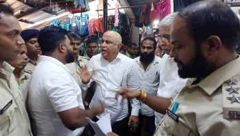
CFD flags misuse, calls for status quo on land-use changes
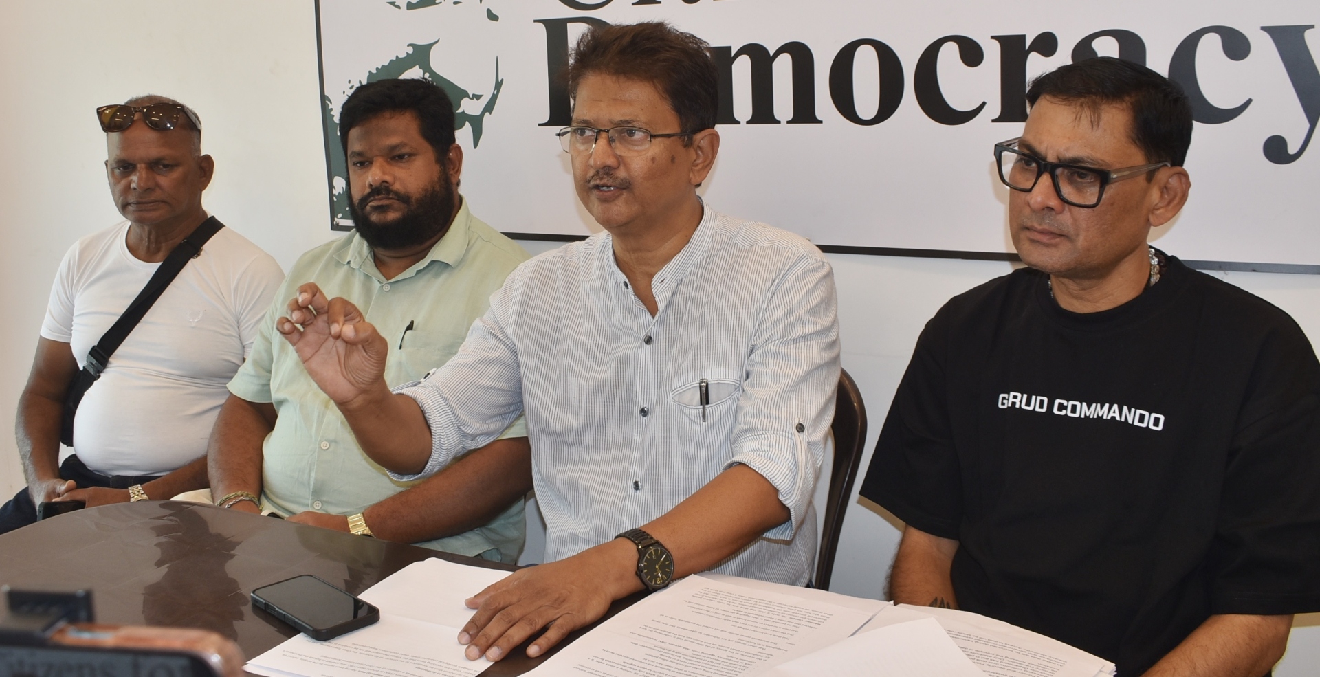
Citizens for Democracy Convenor Elvis Gomes makes a point at the launch of a movement wherein draft resolutions will be circulated to gram sabhas to stay Section 39A of the TCP Act.
MARGAO
In a movement aimed at "safeguarding the village land-use integrity and topography", the Citizens for Democracy has decided to launch a movement wherein draft resolutions will be circulated to Panchayat gram sabhas to adopt resolutions to stay approvals under Section 39A and Section 17A of the Goa Town and Country Planning (TCP) Act, 1974.
Addressing the media, CFD Convenor Elvis Gomes said that Section 39A was enacted without a consultative role for local bodies, allowing for ad hoc zoning changes that threaten the unique character of the village.
He said the "Enough is Enough" movement in Goa has highlighted the gross misuse of Section 39A, adding that the High Court of Bombay at Goa has held that all actions under Section 39A are subject to the final outcome of a pending Writ Petition PILWP 53/2024.
“The Legislative Assembly has adjourned sine die without addressing the public demand for the repeal of Section 39A and amendments to other laws relating to land in the village. Section 17A is being misused to permit large-scale hill cutting based on contour maps prepared by private architects, which contradict the official contour maps of the Survey of India,” he said.
Gomes said the Village Panchayat shall not grant any construction/development licences or NOCs for projects where land-use conversion has been obtained under Section 39A.
“The Panchayat shall maintain status quo on such proposals to prevent irreversible changes to the village landscape until the legal validity of the Section is finally determined. The Village Panchayat shall not approve or recognise any hill-cutting permissions issued by the TCP Department or PDAS under Section 17A that rely on private contour maps,” he said.
He said the Gram Sabha would adopt resolutions demanding that the TCP Department restore the status quo ante (the state of affairs prior to the 2023 guidelines).
“Only contour maps prepared and certified by the Survey of India shall be accepted as the basis for any topographical assessment. No construction licence shall be issued for sloped land until the Panchayat independently verifies the gradient against official government records,” he said.
The Gram Sabha would resolve to reaffirm that the Regional Plan, having been vetted by the people, cannot be subverted by top-down orders (39A) or private data (17A).
Saying that any attempt to bypass the Panchayat's role in planning is viewed as a violation of the 73rd Constitutional Amendment, Gomes said the resolution shall be forwarded to the Director of Panchayats, the Chief Town Planner, and the District Collector, notifying them that the Village Panchayat will not be complicit in the destruction of the village's ecological character under these contentious legal provisions.