PANAJI
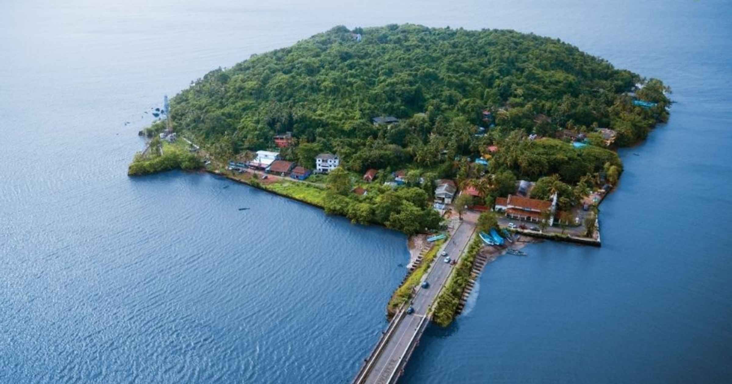
In a move likely to trigger fresh environmental concerns, the Goa Coastal Zone Management Authority (GCZMA) has cleared the way for the proposed bridge connecting Chorao island with the mainland, despite an assessment that 621 mangroves will have to be removed for the project and its approach roads.
After detailed deliberation and discussion, the Authority, during its meeting held on August 12, decided to recommend the proposal to the Ministry of Environment, Forest and Climate Change (MoEF&CC) for grant of environmental clearance.
The proposed Arch Bridge by the Goa State Infrastructure Development Corporation (GSIDC) spans approximately 1.62 km including approach roads, involving construction of 20 pillars with deep pile foundations embedded up to 35 metres. Several of these pillars are planned within riverine and mangrove-rich zones classified under CRZ-III (No Development Zone), intensifying ecological concerns
The EIA report submitted by the project proponent states that six of the 20 pillars on the western bank, or Salvador-do-Mundo side, fall within mangrove areas. It estimates that 449 mangroves will have to be removed on the Salvador-do-Mundo side, while another 172 mangroves will have to be removed on the Chorao side. “Hence, in total 621 mangroves trees need to be removed for construction of this bridge and the approach road,” the body noted.
The EIA report has proposed mitigation measures including construction must be carried out strictly in accordance with the CRZ Notification, 2011, construction debris cannot be dumped in CRZ areas and that the bridge must not obstruct the free flow of river water and that the Environment Management Plan be effectively implemented.
It has also proposed compensatory mangrove plantation in consultation with the Goa Biodiversity Board and Forest Department and also mandates continuous monitoring of air, water, and noise pollution during the construction phase.
The EIA report describes the project area as relatively quiet, with limited vehicular traffic and anthropogenic activity. It identifies construction activity, machinery and vehicles, ferry movement and existing settlement activity as the principal sources of air pollution in the area.
GSIDC has argued that the bridge is essential to provide all-weather road connectivity to the southern side of Chodan island and reduce dependence on ferry services.