The two-day event was organised by the Department of Botany of St Joseph Vaz College, Cortalim, and the Department of Electronics and Computer Engineering of Padre Conceição College of Engineering (PCCE), Verna.
PANAJI
Academicians, researchers, government officials, industry experts, and students discussed the growing role of geospatial technologies in governance, environmental planning, and sustainable development at the National Summit on Geospatial 2.0 in Verna.
The two-day event was jointly organised by the Department of Botany, St Joseph Vaz College, Cortalim and the Department of Electronics and Computer Engineering, Padre Conceição College of Engineering (PCCE), Verna, and supported by the Goa State Remote Sensing Centre (GSRSC) under the aegis of the Goa State Council for Science and Technology (GSCST).
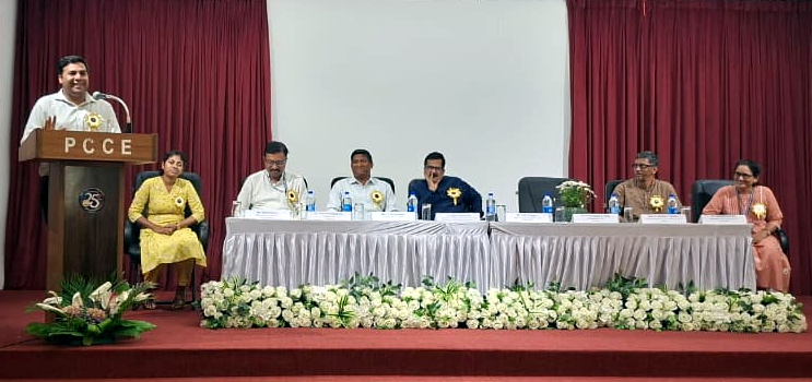
The first day of the summit was graced by Dr Babula Jena, Scientist F from the Department of Polar Remote Sensing, as the Chief Guest, and Brenda Fernandes, Director of the Goa State Remote Sensing Centre, as Guest of Honour. The dignitaries highlighted the increasing significance of GIS and geospatial technologies in decision-making, environmental monitoring, and public policy.
Technical sessions began with a keynote policy address by Adv. Richard Almeida, who spoke on ‘From Special to SPATIAL – Panchayat Raj Act Implications’, explaining how spatial data can strengthen governance and planning at the Panchayat level.
This was followed by a Framework Talk by Malcolm Afonso, Founder of Spatialcraft, Goa, on the Gram Panchayat Spatial Development Plan (GPSDP) and the role of geospatial frameworks in rural development planning. The session also featured student digital poster presentations showcasing innovative geospatial use cases.
In the afternoon session, Dr Narasimha Hegde presented a case study on the use of Geospatial Technology for PES and NBS in the Western Ghats of Karnataka, highlighting how GIS tools support biodiversity conservation and ecosystem management.
The day concluded with departmental experience sharing sessions, where officials from the Goa State Biodiversity Board, Land Records Department, and Forest Department shared practical insights into GIS-based planning and resource management in their respective daprtments.
The second day focused on hands-on learning and practical exposure. A workshop on Open-Source GIS for Rural Planning was conducted by Dr Madhura Niphadkar and Avinash Tavares, where participants learned how to apply open-source GIS tools for spatial analysis and citizen science initiatives.
Following the workshop, participants engaged in practical case studies and team presentations, where they applied the concepts learned to analyse spatial problems and propose solutions.
The summit concluded with a panel discussion on ‘The Way Forward for Geospatial Technology in Rural Planning’, moderated by Malcolm Afonso of Spatialcraft.
Experts Dr Madhura, Avinash Tavares and Rev Dr Bolmax Pereira discussed the future of GIS in governance, infrastructure planning, environmental management, and citizen engagement.
The valedictory session was graced by Dr Millind Sakhardande, Joint Director of Information Technology as the chief guest, and Jeffrey Viegas, Assistant Director (Academic), Directorate of Higher Education, as guest of honour. The dignitaries emphasised the importance of interdisciplinary collaboration and encouraged students and researchers to actively contribute to geospatial innovation.
“The two-day National Summit on Geospatial Technology successfully created a platform for knowledge sharing, skill development, and collaboration between academia, government, and industry.” said the Convenor Dr Fr Bolmax Pereira.
Nathaniel Nunes, software developer said, “As a software developer, I’m usually focused on code and digital experiences. Attending National Summit 2.0 on Geospatial Technology was a refreshing change. The sessions introduced us to open-source GIS and QGIS, showing how maps can highlight connections and insights that everyday users wouldn’t normally think about. It was eye-opening to see how spatial analysis adds meaning to data in ways that go beyond our usual perspective”.
Anezia Barreto, a TY BSc student appreciated the organisers for the spatial initiative to empower students and citizens.
“The experts made us understand the geospatial concepts and their use in simple ways that we could understand,” said Barreto.
Added Dr Jayalaximi Devate, the Co-convenor, “Through keynote talks, technical sessions, workshops, and discussions, participants gained valuable insights into the practical applications of GIS in environmental conservation, rural planning, and governance. The summit reaffirmed the growing importance of geospatial technologies in shaping sustainable and data-driven decision-making for the future.”