VASCO
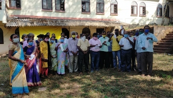
Amid plans to work with communities to track cetaceans in Indian waters, World Wildlife Fund (WWF) India conducted a training program for fishermen in Kharewaddo to track whales and dolphins at sea.
The training programme was conducted in the presence of Goa Fishing Boat Owners Association (GFBOA) President and former minister Jose Philip D'Souza on Tuesday.
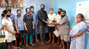
Having also initiated a series of training workshops with fishing communities in Karwar and Mumbai, WWF India also distributed mobile phones to fishermen with a cetacean-tracking app.
During the training programme, Dr Coralie D’Lima, Senior Programme Coordinator, WWF India, said these large mammals, collectively referred to as cetaceans, are frequently spotted by fishers during fishing trips.
“Now that 100 fishermen across Maharashtra, Goa and Karnataka have been trained to use the Cetacean Tracker application, we will focus on ensuring that cetacean data are reported accurately.”
“Once we build a significant database, we will map regions where cetacean species are most commonly found and their potential risk of specific threats.”
“We hope to continue working with local fishing communities through ongoing conversations and future collaborations, so that fishers continue to fish, while simultaneously conserving cetaceans,” said Dr D'Lima.
Dr D'Lima said India is estimated to host over 28 species of cetaceans, but there was very little understanding of habitat use, behaviour and extent of bycatch due to various fishing gear of these mammals.
“Collaborating with coastal communities is invaluable to build baseline information on the presence and diversity of cetaceans in India. Capitalising on the interest among fishing communities, WWF India developed the Cetacean Tracker application, to help fishers collect verifiable data, in a time-efficient and scientifically sound way.”
“The application allows an individual to quickly record cetacean sightings through photographs and videos and also provide information on sighting coordinates, behaviour observed, numbers and species sighted.”
“Data collected from the app will be used to map cetacean hotspots, identify areas of potential or existing bycatch risk and create frameworks for sustainable coexistence," said Dr D'Lima.