PANAJI
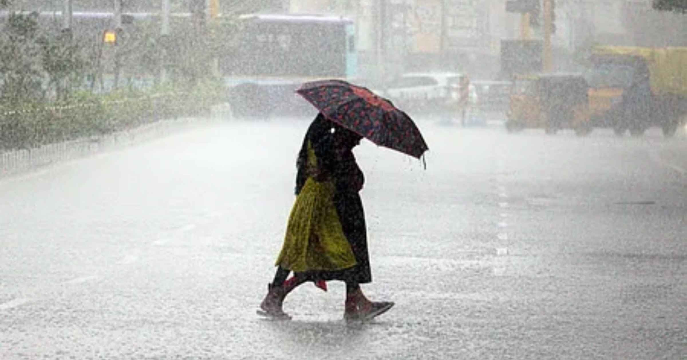
Several parts of Goa finally received much-needed respite on Friday afternoon as sudden downpours, accompanied by lightning and gusty winds, swept across the State.
The State recorded a searing maximum temperature of around 36 °C on Thursday, +3.7°C above normal, and matched that high on Friday. The minimum temperature was 26.2°C.
However, the oppressive heat took a dramatic turn in the second half of the day. As dark clouds rolled in and it began pouring heavily in several pockets, the mercury plummeted to a much more comfortable 31.5°C.
While urban centers experienced brief spells, remote areas and hinterland witnessed sharp, heavy spells of rain all through the day. As per the India Meteorological Department (IMD), thunderstorm activity accompanied by lightning and gusty winds ranged between 30 and 40 kmph.
The Met department has forecast light to moderate rainfall and thundershowers over the Ghats and adjoining areas of these districts over the coming days, though no severe weather warnings have been issued for the weekend.
Weather models and app updates indicated that the relentless heat is finally loosening its grip. On Saturday, maximum temperatures are expected to dip further to around 34°C to 35°C, whereas the daytime temperatures on the following day are projected to slide down comfortably into the 33°C to 34°C bracket.
Amidst cooling respite, the larger national weather map has been witnessing intense activity on the eastern coast. According to an IMD forecast, a low-pressure area formed over the Bay of Bengal on Friday and is anticipated to intensify into a cyclonic storm by October 26.
Under the direct influence of this developing weather system, several eastern and southern coastal regions have braced for severe weather with the Andaman Islands, coastal Odisha and Andhra Pradesh, and parts of Gangetic West Bengal likely to be affected. No weather warning has been issued for Goa.